Introduction
The rationale behind the conception and research of the Lost Hiker Drone (LHD) system is described in this report..
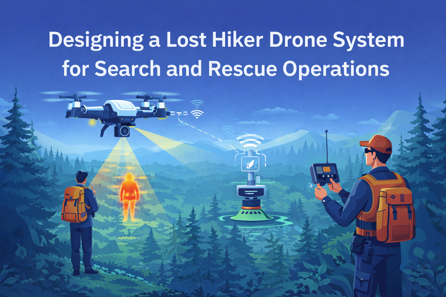
The system supports search-and-rescue teams in locating missing hikers within a large forest environment.
The drone uses sensors, communication tools, and structured flight operations to collect data and help park rangers identify and locate a lost person.
This report includes the system requirements, functional analysis, operational flows, architecture diagrams, risks, and verification traceability.
Problem Statement
Search-and-rescue operations in large parks are slow and resource-intensive.
Human teams cannot cover large areas quickly, and visibility is reduced by terrain, vegetation, and weather.
The Lost Hiker Drone system is introduced to reduce search time by providing real-time data collection, automated scanning, and communication with park rangers.
System Overview
The Lost Hiker Drone is an unmanned aerial system equipped with sensors, cameras, infrared detection, communication modules, and a flight control system.
Its goal is to search within the park boundaries and provide:
- Real-time data collection
- Automatic detection of possible hikers
- Communication with the park ranger team
- Ability to confirm and assist the found hiker
- Ability to refuel and repeat search operations
System Objectives
· Reduce the time required to locate a missing hiker.
· Improve accuracy of detection using visual and infrared sensors.
· Provide real-time location, video, and images to park rangers.
· Support the hiker by delivering small survival supplies if necessary.
· Enable continuous searching with refuel-and-repeat operations.
Operational Context
Context Diagram

The LHD operates within an environment consisting of:
- Park Rangers
- Forest Terrain
- Weather Conditions
- Animals and obstacles
- Drone charging/refueling station
The drone communicates with the ranger team and collects information from the environment during flight.
Functional Requirements
The system must:
Data Capture
- Capture high-quality images and video.
- Detect heat signatures through infrared.
Data Transmission
- Transmit data in real-time to the ranger control unit.
- Maintain communication even in Beyond Visual Line of Sight (BVLOS) conditions.
Data Analysis
- Analyze data on-board or by ranger team to identify potential matches.
- Support automated detection algorithms.
Hiker Confirmation
- Approach close enough to verify the hiker.
- Enable voice communication.
- Deliver supplies such as water, a whistle, or first aid.
Mission Continuity
- Return for refueling.
- Relaunch and continue searching.
- Repeat until the hiker is located.
Functional Architecture

The system has main parts::
- Capture Data
- Transmit Data
- Analyze Data
- Determine Match
Sub-functions include:
- Sensor activation
- Communication link establishment
- Ranger review
- AI-based recognition
- Warning alerts
- Supply drop command
Physical Architecture

Main components:
- Flight Control System
- Sensor Suite (camera, thermal, IR)
- Communications Module
- Power System
- Drone Frame
- Onboard Processor
- Supply Release Mechanism
Each subsystem supports a defined set of functional requirements.
Operational Process Flow
Phase 3: Transmit and Analyze Data

This Phase demonstrates the way in which the drone captures photographs or video and transmits them to park rangers. The AI and rangers do the check of whether what the drone is looking at could be a hiker.
Phase 4: Confirm Hiker and Communicate

This Phase verifies the information. In case of a drone confirmation a hiker, the drone communicates with a ranger and examines the state of a hiker and is capable of dropping emergency supplies.
Phase 5: Refuel and Repeat Search

This section demonstrates the drone coming back to base to recharge and the mission reinitiating again.
This section demonstrates the drone coming back to base to recharge and the mission reinitiating again.
10. Requirements Traceability Verification Matrix (RTVM)


Conclusion
Lost Hiker Drone System provides a fast and precise means of locating lost hikers. It has its distinguished parts, robust hardware and qualifies in data processing hence aids ranger teams to find lost hikers swiftly and without danger.
The system simplifies the work, contributes to minimizing danger, and enhances the possibility of survival of people who miss the rescue.
References
Bianco, G. M., Giuliano, R., Marrocco, G., Mazzenga, F., & Mejia-Aguilar, A. (2020). LoRa system for search and rescue: Path-loss models and procedures in mountain scenarios. IEEE Internet of Things Journal, 8(3), 1985-1999. https://ieeexplore.ieee.org/abstract/document/9169667/
Khan, N., Ranade, P., & Verma, I. K. (2023, December). Leveraging Technology to Enhance Hiker Safety: A Design Intervention. In Conference of Innovative Product Design and Intelligent Manufacturing System (pp. 603-617). Singapore: Springer Nature Singapore. https://link.springer.com/chapter/10.1007/978-981-97-6732-8_51
Khosravi, M., Arora, R., Enayati, S., & Pishro-Nik, H. (2024). A search and detection autonomous drone system: From design to implementation. IEEE Transactions on Automation Science and Engineering, 22, 3485-3501. https://ieeexplore.ieee.org/abstract/document/10522748/
Kumar, R., Singh, J., Yadav, P., Semwal, N., Yadav, S., Bhorey, A., & Dhawan, H. (2023). Parachute deployment system for safe recovery of a drone. Materials Today: Proceedings. https://www.sciencedirect.com/science/article/pii/S2214785323020102
O’Leary, H., Vasquez, M., Velumani, S., Biaz, S., & Chapman, R. (2022). Object Searching, Acquisition, and Classification Using Stabilized Thermal Imaging on Smart UAVs for Use in Low-Cost SAR Applications. https://www.researchgate.net/profile/Houston-Oleary/publication/366847754_SmartUAVs/links/63b50587a03100368a4fb7ed/SmartUAVs.pdf
Williams, R. (2020, April). Collaborative multi-robot multi-human teams in search and rescue. In Proceedings of the international ISCRAM conference (Vol. 17). https://par.nsf.gov/biblio/10196376
Comments